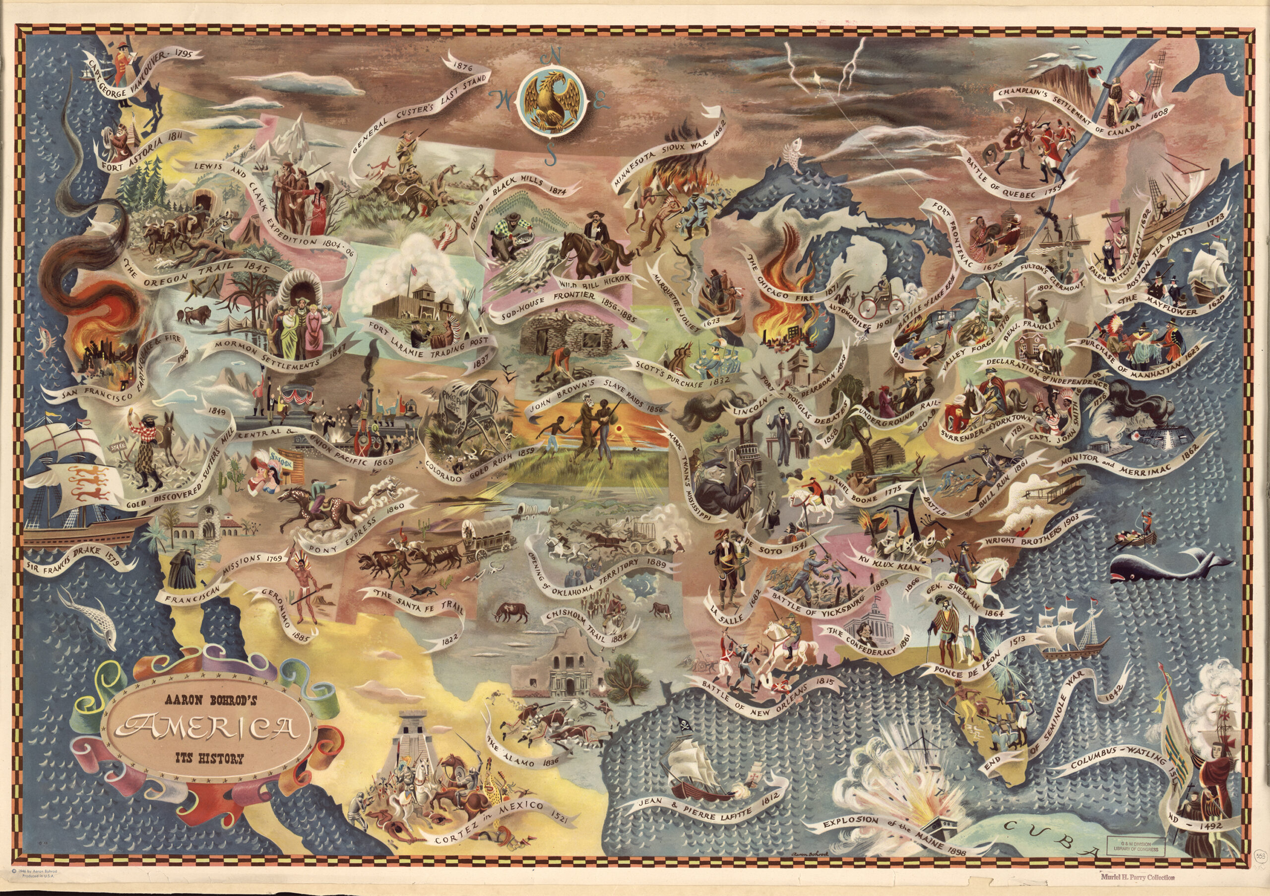
“Story Maps provides a smoother entry point for instructors and students to apply spatial thinking to their disciplines.“
The maps allow students to get a better understanding of not just the timeline of events but the causes and effects that come from these events. I think I would rather be taught using Story Maps than through the usual slideshow and lecture.
“After looking at the evaluations and interviews, we recognized that students in each class gained proficiency in three key historical skills: their ability to (1) closely analyze primary and secondary sources, (2) draw novel conclusions from evidence, and (3) communicate their findings.”
The Story Maps are great in helping students become better learners and use evidence to back up their claims. Giving the students a Story Map to create will also better help them communicate the evidence that they wish to present.
“Conclusions like this would have been lost in the details of the sources if the students had not taken the time to place them in their geographic contexts.“
Having an association of where events happen and when is a great way for students to memorize and recall why they are considered important. I do have one question about the Story Maps. What if the place they used does not hold as much significance or can it just be used as a placeholder?
